Showing posts with label springs. Show all posts

Monday, February 22, 2016

2015-12-19: Geocaching Tank, Cemeteries, Davy Crockett, and More

Welcome back to our Geocaching adventures. We hope you have been enjoying our stories so far. Feel free to leave your comments or just say hello to let us know you've stopped by.

Today was another Saturday and after a week without a Starbucks, Candy was long past ready for a Triple Vente Peppermint White Mocha! So we made the long drive up to Lufkin for our weekend breakfast at Cracker Barrel and a Starbucks coffee.

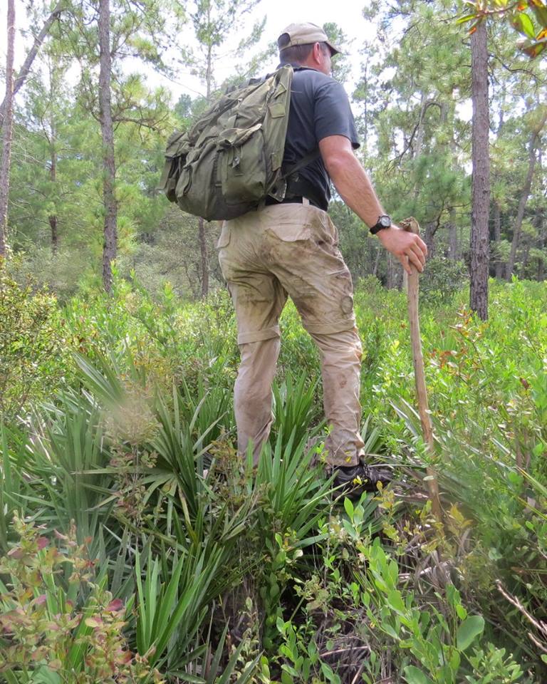
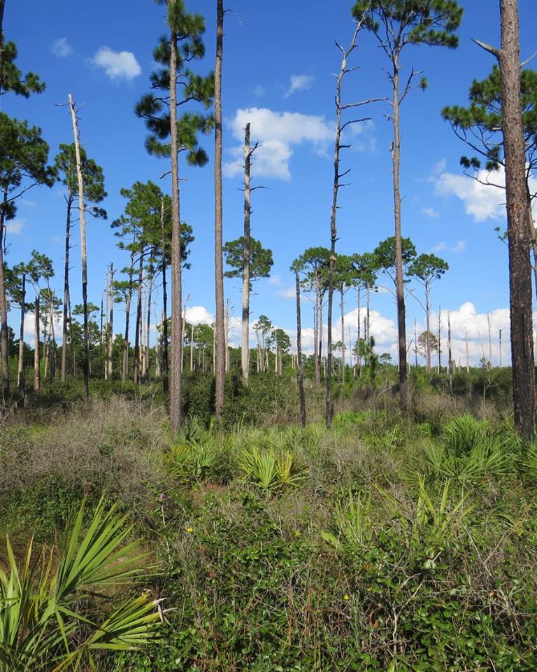
Our goal today was to pick up some new Texas counties. From Lufkin, we took TX-94 down into Trinity County and our first quick roadside cache in a new county. Then continuing on to US-287 north to the Ellis-Prairie Cemetery and our next cache (GC67CRV). The oldest legible grave is for Baby Rosser 1879.


The next Geocache was in the Pennington Cemetery (GC29Q7N). The oldest legible grave was from 1859. We spent about 15 minutes looking for the cache, but came away with a DNF.

Continuing up the road and just entering the town of Crockett, we went to look for this cache called "Who Needs a Musket?" (GCMA5F). Yeah, I'd say so! It's a giant tank! I decided to climb up on top for a photo first. Then as I'm climbing down, a couple of guys and some kids pulled up. They were taking a break from camping and came into town for some Geocaching. There are plenty of hiding places on a tank and after a few minutes, I came up with the find.


Once in town was the Davy Crockett Spring and Brewer Park (GC1AFH6). Here was a small cabin and spring, the site where Davy Crockett and his men stopped for the night as they were headed for the Alamo.


Nothing Geocaching related, but just a cool looking old west style building in Crockett. We learned from the next cache and a statue of Sam Lightnin' Hopkins, that the Camp St Cafe was once a pool hall where the Blue Legend used to play.


Several more caches, a couple more cemeteries, and a couple new counties later and we headed from home. Another adventurous day of Geocaching through history.


Thursday, February 11, 2016

2015-10-11: The Quest for the Apocalypse in the Ocala National Forest

Today's Geocaching adventure was planned shortly after the last hike and we couldn't have asked for better weather! The BAG+/- Group consisted of TeamFelixG, clark boys, Daykinator, saylorboys+mom and the two of us. We met up along CR-19 at Morman Branch Creek with a goal of conquering the Apocalypse caches.

But first following east, Barking Moonbat was the warm-up cache. After putting on the gear, we all headed down the short trail leading into the cool water. There were 3 of us who decided to wear knee high rubber boots based upon previous photos. Standing at the roadside looking down into the shallow waters, we thought a good choice on the rubber boots! However, it didn't take but a few steps disappearing into the woods to realize they proved worthless as recent rains made for high tide further down! It seems as the floor of the creek varies from shallow to deep and back again. And as one of the 3, I can say it didn't make any easier on the dry sections with a gallon of water in each boot. A quick find at GZ and we reversed direction back towards the Apocalypse...


Having made our way back to the cars, we continued following the creek towards the west, spending most of our time in the cool waters. We found it easier to move forward instead of bushwhacking through the brush. Which we occasionally did as the creek would twist to the right and left too far off course only to pick it back up again. Also upon crossing the dry spots, those of us with the boots would pause briefly for a yoga pose (see photos), draining the water from the boots. We arrived at Soulbait Springs for another quick cache find and getting ever closer to the Apocalypse.


The next cache along the Morman Branch Creek was called "I get by with a little help from...", Geocaching is a great example of "getting by with a little help from." Because if on days like this if we were to trek out here as individuals, where would the fun be? It's having such adventurous friends to share in the experience that's makes it all worth while. I think we are the newest members of the B.A.G. and have enjoyed each trip with our newest friends.


WE MADE IT! Our quest to conquer the "Apocalypse, When?," "Apocalypse-End," and "Paint Fiction's Apocalypse" caches was completed! We sloshed through the water, we squished through the mud almost loosing one member, we bushwhacked through the brush, we came, we found, and we conquered! Then we celebrated!


But was it really the end? Of course not! We could have backtracked along the coolness of the creek towards the cars. But been there, done that. We've seen that already. The adventure is always to press forward, to see things previously unseen. Plus there were two more caches to get. The plan was to hike all the way down to SR-40 where a rendezvous vehicle was left to take us back to Morman Creek on CR-19. However, due to time constraints of one member of the group, we were only able to grab one of the remaining two caches because they were in two different directions.

We continued bushwhacking south towards SR-40 and towards the next cache called "Outta the Boat." This cache hadn't been found in THREE YEARS! Upon arriving at ground zero, the search began. Most of the time finding an ammo can in the woods is fairly easy. However this one had three years worth of growth and decay to cover it. 

Another good reason to go Geocaching with a group of friends. Not only for the camaraderie, but for having more eyes to look! As we moved about searching and re-searching, saylorboys+mom was practically standing on top of it. Then as she moved away to search another location, I moved into where she was just looking and began poking my hiking stick into the ground when I heard a THUMP! Removing all the debris, I found the three year lonely cache!


From there is was non-stop bushwhacking through the thick palmettos, brush, and occasional briers. There was supposed to be a trail somewhere along the way to make it a little easier, but we didn't come across it until nearly reaching SR-40 and TeamFelixG's pickup truck.


Standing on a fallen tree to see if there's a trail to be found.


We made it back to the transport truck and back to civilization! After driving back around to the Morman Creek parking area, two of us had to depart and head back to Tampa. As if what we just went through the past several hours wasn't enough punishment for one day, the remaining four of us decided to drive further north to find Pat's Island Sinkhole. There was a digital souvenir available for finding an earthcache, and we each still needed one.

So we hopped into our GeoMobiles and drove a few miles north up to Forrest Road 51, then west over to the Florida Trail. There you'll find Pat's Island Trailhead. Another mile long hike through the woods and we found the sinkhole. Three of us climbed down to the bottom and got the required info needed to achieve a find, while Candy stayed up top to take our photo.

Looking down.


It was another GREAT adventure! We found and conquered the Apocalypse, experienced the great outdoors in old natural Florida, and enjoyed the fellowship of friends. I glad you stopped by to read about our adventure. Feel free to leave your comments. I look forward to hearing from you.

Tuesday, February 9, 2016

2015-08-09: Hiking to BoonieMan Springs With Geocaching Friends

Today was an adventure unlike any we've had so far. Yes, we have gone on some long hikes. Yes, we've had some bushwhacking. But this was the first where the majority of the hike was some serious bushwhacking! 

We met up with Geocachers TeamFelixG, Daykinator, norma627, clark boys, saylorboys+mom, princessjewel, gutfiddle78, and Lori8996 at the Rock Spring Run State Preserve off of SR-46. The challenge was to bushwhack our way to find the elusive BoonieMan Springs Geocache. Hidden back in November of 2006, it has only been found by 33 brave cachers in the 9 year period.

Gathering in the parking area, the only familiar face for us was TeamFelixG. So introductions began and some chit chat, putting on our gear like athletes preparing for the big game, and mentally preparing ourselves for the challenge ahead. OK, so that may be a little over dramatic! We put on our backpacks, got our hiking sticks and off we went.

The first mile or so wasn't so bad. A clear wide vehicle access road headed into the woods. About 2/3 of the way down we cleared the way for a truck to pass. Wait... we encountered a locked gate. How they'd get through? Why couldn't we have driving down through this first segment? All part of the adventure I guess.


When we arrived at the turnoff point to start bushwhacking the so-called trail, we encountered the man in the truck. He was a researcher tagging and photographing the bear population. He gave us a lesson on the bears and showed us how one just used that tree the previous night to scratch their back.


OK, back to our quest! It was bushwhacking time! Thick palmettos, bushes, pine trees, and the sun beaming down from above. A few of us took turns with the hard part of leading the way, but the big guy "clark boys" did the majority of the hard work and we all appreciated that.


I think we found the remains of BoonieMan
While most of the way was on dry land, there was some water crossing. I mean we were looking for a spring.


OK, so not much of being a beautiful spring. Smelled like sulfur also. Probably why the area wasn't cleared and converted into a park for families to come and picnic. Which is good because then there wouldn't have been the adventure we had today.


But the springs were not the prize we were after. Our quest was for the old ammo can Geocache! The 10 of us began to spread out and start looking for the cache. After about 5 minutes it was spotted by a few of us while we let the others search a little longer. Eventually we announced those words we like hearing: FOUND IT! The cache owner made arrangements with us to replace the old can with a new one.


Celebrating with a bottle of bubbly, a group photo and a long break before bushwhacking it back to the cars.


On the way back we decided to take another route for a change of scenery. Along this route we also encountered some thick mud. With 10 of us passing through, you know there's got to be at least one that will sink knee deep in the mud and have to be pulled out! We took another break upon reaching the vehicle access road because it seemed to be 150 degrees outside and there was absolutely no shade the rest of the way!


Finally we reached the parking area! Yep, we started with 10. Now there's 9. Candy was the only smart one already in the car, a/c on full blast, boots off, legs throbbing, and not able to stand back up to pose for the "after" photo. It was a GREAT day. We enjoyed the new friends we made and look forward to the next adventure!